Looking for a way to relish the coming of spring? These scenic routes give new meaning to the idea of “going for a drive.”
The Blue Ridge Parkway
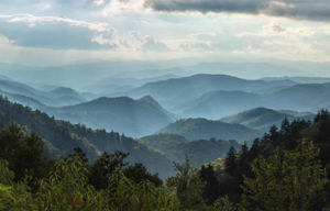
 Stretching 496 miles from the southern end of Shenandoah National Park to the Great Smokey Mountains, the Blue Ridge Parkway is the most heavily visited unit in the entire National Park System. More than 200 miles wind through Virginia before crossing the state line in North Carolina.
“One of the most beautiful drives or hikes you can find in North America during any time of the year is the Blue Ridge Parkway,” said Sergei Troubetzkoy, president-elect of the Blue Ridge Parkway Association. “Visitors come from around the world come to explore the breathtakingly beautiful scenery of the Parkway traveling by automobile, motorcycle, bicycle or by foot.”
The “best” time to go? In the Virginia portion of the Parkway, rhododendron are typically blooming in early June. But redbuds, dogwood, magnolia, azalea, black-eyed Susan and hundreds of other types of flora abound. Check the Bloom Schedule to help plan your visit. Mountain vistas change with the seasons but are reliably breathtaking.
While it’s difficult to single out any particular “must see” spots, Groundhog Mountain Overlook (about MP 188) offers a spectacular, panoramic view from an observation tower. Meadows of Dan (MP 177) is a small mountain community that’s part of the Crooked Road music trail.
And getting off the Parkway to visit such small towns is something Troubetzkoy recommends. “Easily accessible from the Parkway are charming cities and towns that dot the landscape on both sides of the Blue Ridge Mountains.” He said. “Everyone should take advantage of side trips to both explore and enjoy these quaint communities while viewing the “Blue” mountain range from different viewpoints.
Want to stop somewhere and hike? Find several good options here.
Where to stay on the Parkway? Peaks of Otter Lodge (MP 86) is a longstanding favorite with travelers.
An Information Line has a wealth of recorded information on the Blue Ridge Parkway: (828) 298-0398.
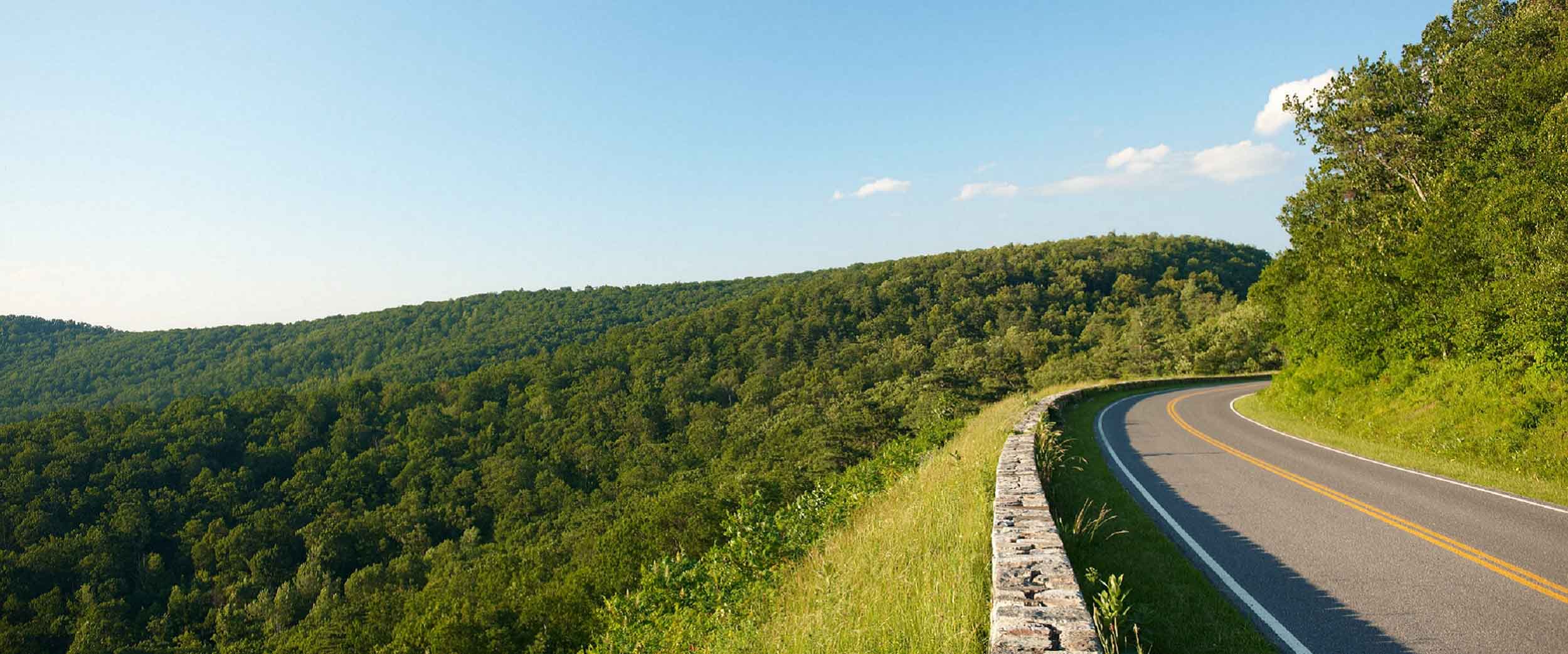
Skyline Drive—105 miles of paved wonder through Shenandoah National Park.
Enter at the northern entrance in Front Royal, or any of three other “gaps,”—Thornton Gap near Luray, Swift Run Gap near Elkton, or Rockfish Gap near Waynesboro. The speed limit is 35 mph, which you’ll want to stick to both to absorb the views and watch out for plentiful deer and the occasional bear. Admission is now $25 for one vehicle and passengers.
Most commonly driven in the fall, Skyline Drive in the spring is nothing short of splendid. Many overlooks allow you to pull off the Drive safely and experience the views or take a quick hike. With more than 500 miles of trails within the Park, hiking options can be as serious or as lighthearted as you want. One of many family favorites: Dark Hollow Falls, easily accessed at mile 50.7. Roundtrip it’s only about a mile and a half–all downhill to a great view of the falls–then uphill back to the parking lot.
Services are limited, and seasonal on Skyline Drive, but you can find lodging with full-service restaurants at Skyland (Mile 41.7 and 42.5) and Big Meadows (Mile 51.2). There are also “waysides” with lighter-fare menus, at Elkwallow (Mile 21.4), Big Meadows (Mile 51.2), and Loft Mountain (Mile 79.5). Of course there are several campgrounds, usually starting to open in March. On weekends and holidays you should reserve a spot even to camp; call 877-444-6777. Backcountry camping is also allowed, with a permit and under some conditions. Go here to learn more.
Note: To learn more about Skyline Drive and Shenandoah National Park, stop by the Byrd Visitor Center, mile 51. You’ll find an information desk, exhibits, orientation movie, gift shop, maps and more.
The Wilderness Road — Virginia’s Heritage Migration Route, refers to several of the main migration routes European settlers traveled from Philadelphia to Cumberland Gap. In the Shenandoah Valley, the predominant route was The Great Wagon Road (earlier called the Indian Road, later called Valley Pike); it is known most commonly known today as Route 11.
One may be surprised to learn this route, loosely running from Martinsburg to Roanoke, was originated by migrating buffalo. Native American hunters followed, and they in turn were followed by the Scots-Irish and German pioneers. Many of the cities and small towns a tourist passes through today are roughly 20 miles apart—or one hard day of travel for an early settler and his family. Memories of the early residents are maintained in small museums up and down the road. Big cities like Winchester, Harrisonburg, Staunton, Lexington and Roanoke are interspersed by smaller hamlets like Strasburg, Woodstock, New Market, and others.
Mile after mesmerizing mile, Route 11 offers views of high ridgetops receding into the distance on both sides. You will leave this road with memories of pastoral farmlands, picturesque stone fences, and a temporary but vital connection with American history.


 Stretching 496 miles from the southern end of Shenandoah National Park to the Great Smokey Mountains, the